French Polynesia Part 2: Tuamotus
 |
| Dave in Taou Atoll, Tuamotus |
Ia ora na, family and friends,
Our last post was about the Marquesas Islands, and this one is about somewhere just as special: the Tuamotus. A land of turquoise waters and white sand beaches, the Tuamotus are paradise on earth.
If you’re unfamiliar with the Tuamotus, open a satellite map of French Polynesia. Among the deep ocean blues in the area, you’ll find a lighter band, almost like a scattering of stars, stretching from northwest to southeast. This is the Milky Way of Polynesia. As you zoom in, you’ll notice the cyan bursts aren’t stars but craters of fringed reefs. Each smaller reef island, or motu, makes ringed atolls which in turn, make up the Tuamotus (Paʻumotu for “distant islands").
The Tuamotus are old, even from a geological standpoint. At the height of their glory, each atoll was a towering volcanic island, much like Marquesas or Tahiti. In fact, volcanic rocks from the oldest atolls (those in the northwest) date to about 65 million years ago. For perspective, this means these islands were formed around the end of the Cretaceous period, our last global dinosaur extinction. The fertile banks around each island provided the ideal conditions for coral reefs. And over tens of millions of years, the land eroded and sunk, but the coral continued to grow.

When Polynesians arrived roughly 1200 years ago, the coral reefs and coral beaches were all that remained. They serve as an outline of these once-proud islands, a reminder of worlds otherwise lost to history.
Polynesians who settled on the atolls infused them with new life. They developed the Pa’umotu language, mythologies, and diets, distinct in many ways from neighboring island groups. They were, and still are, a hardy and self-reliant population, living at the very edge of both land and sea. Of the nearly eighty atolls, more than fifty are permanently populated with villages.
Until the last few decades, most non-Polynesian sailors called the area “The Dangerous Archipelago” and told ghost stories of their graveyards of grounded ships. The low-lying motus and sunken coral heads were mines for boat hulls. Extreme weather and strong currents didn’t help this reputation.
Fortunately for us, with the advent of reliable GPS navigational equipment, sailors now eagerly visit the Tuamotus rather than avoid them. Due to time constraints, we chose only three atolls to visit and stayed at each one long enough to feel a sense of home.
Rarioa
Nuku Hiva to Rariora was a three-day passage, or longer if you need to wait until slack water at the pass to the lagoon.
Unlike the rapids we're used to in the Salish Sea, these passes require more guesswork and patience. There’s no almanac to help us because these currents can't be predicted far in advance. These passes are influenced not just by tides, but also the ocean surf crashing over the atoll and the location of the entrance relative to the ocean surf direction. Most sailors use a combination of limited tide tables, local knowledge, recent weather models, naked eye judgments, a couple “guesstimater” tools made by other sailors, and a whole lot of patience.
With these tools, we made it through our first Tuamotus pass without incident. Whew, now to avoid the bommies! Zoom in on the map below and you'll see numerous white specs scattered throughout the inside of atolls. These "bommies" are big coral heads that lurk just a foot or two under the surface, waiting to tear a hull apart. To avoid them, Dave stood as tall as he could forward of the mast and looked for color changes in the water while I used satellite imagery at the helm. The satellite imagery from Bruce Balan's Chart Locker, loaded onto our tablet with OpenCPN, was extremely helpful.
 |
| Each light dot inside the atoll is a coral head, or "bommie" to avoid. (Google Maps) |
We anchored a few motus south of where Norwegian anthropologist Thor Heyerdahl and crew crashed in 1947. With his voyage, Heyerdahl attempted to prove that Polynesia was, at least partly, settled by Incan rafts from east to west via the trade winds. DNA evidence initially discredited his theory; however, most recent DNA evidence shows South Americans and Lapitan Polynesians may have actually intermingled about one thousand years ago. Whether Polynesians sailed upwind with better boats or South Americans drifted downwind on rafts is still up for debate though.
Once winds started blowing from the northeast, we moved to the northeast corner of the lagoon. This was another slice of paradise.
The weather never allowed us to go to the little village on the west side like we wanted. We had heard of an egg and honey farm and a church made entirely of coral reef. Fortunately, friendly villagers came by boat to sell food a couple times, so at least we were still able to connect.
We were also able to reconnect with Raffi, a single-hander on SV Wind River, who buddy-boated with us on our passage from Mexico, and a few new friends.
 |
| Gorgeous Rarioa |
 |
Floating our chain: After a couple attempts, we found what worked best was to attach our first float to the chain at 2 times the depth and make the line on that first float a length between half the depth and the depth. That keeps our chain just above the surface while keeping our float just below the surface. Then we attach the next float 15-20 feet further up the chain and make that line around half the length of the first. Finally a third float 15-20 feet past the second with a line only a few feet long takes some of the load off the other floats. Many boats pick up more buoyant anchor floats made of hard plastic while in the Tuamotus. Shorter lines can then be used which will keep the chain higher off the seafloor, but we decided we didn't have room onboard for that special floats so we use our soft fenders instead. |
 |
| Visual from Cruising World |


 |
| The reef shore on the ocean side |
 |
| Tahitian Screw Pine (Not that tasty) |
 |
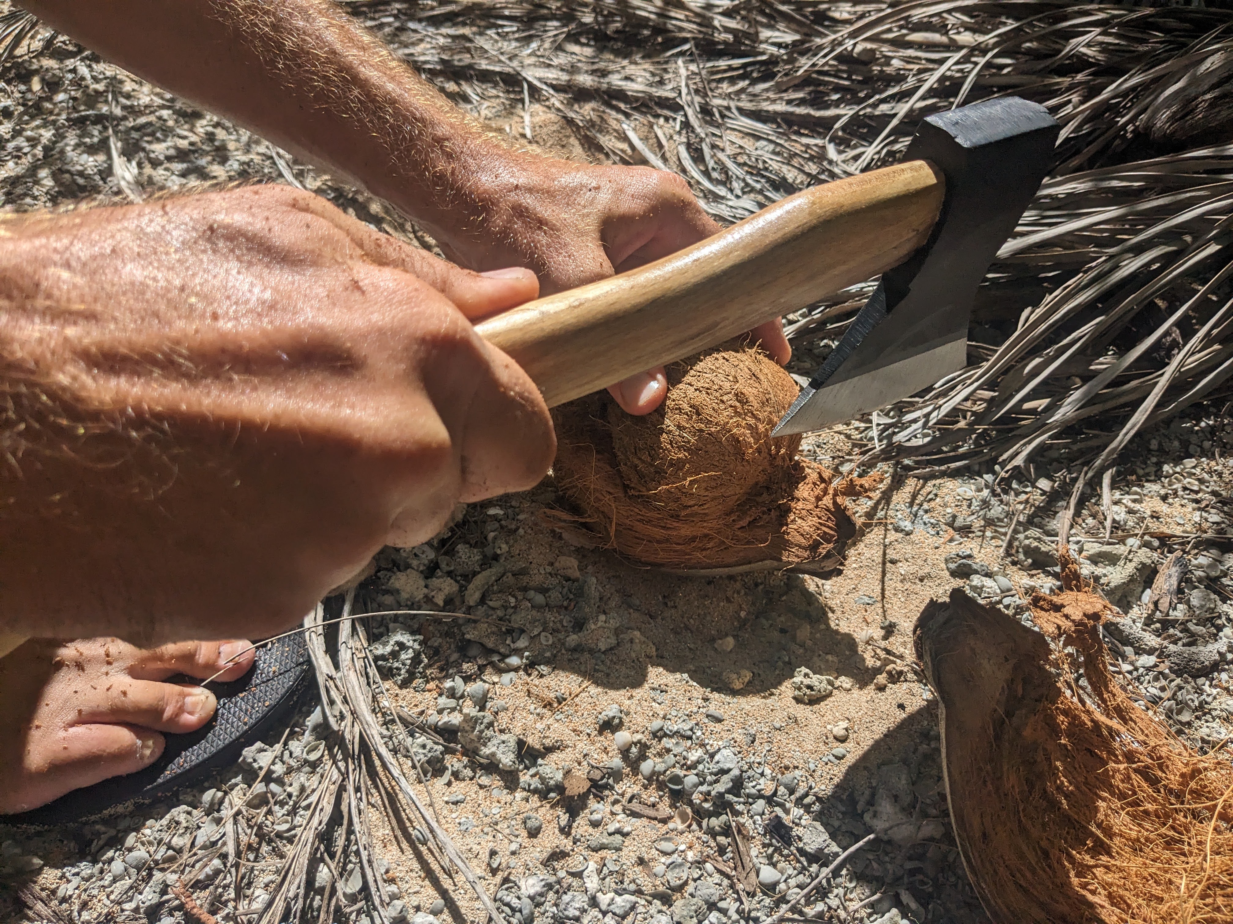
| Collecting coconuts (Very tasty) |

 |
| Kon Tiki Monument |
 |
| Visiting the monument with new sailing friends from around the world (Thank you to SV Holly Go Lightly for the group shots.) |

 |
| Carpooling |


 |
| Overnight to Fakarava |
Fakarava
After much deliberation about weather windows, we left Raroia with a handful of other boats. Nearly two days later, we arrived at the entrance to Fakarava.
Fakarava is a much bigger atoll with a relatively big town feel (around 1600 people). The passes and the sail to town are well charted. Fakarava is high on charm and hospitality. Surprisingly, most locals spoke English, here more than in most places we visited, so we could forge connections outside the confines of a translation app. After hearing about the difficulty of provisioning in the Tuamotus, we were surprised to find most staples, fuel, cooking gas, water, and even fresh produce and eggs readily available.
This atoll, so different from what we generally associate with “civilization,” seemed to have everything we needed. Even pizza! If you thought pineapple was strange on pizza, wait until you try banana or mango as a topping! Fruit on pizza is so common here, it’s not even a controversy. Dave’s type of place.
For Dave’s birthday, we rented e-bikes with Raffi. And even after a full day of pedaling, we still didn’t get to see everything on this atoll.
 |
| Anchored at Rotoava, the town of Fakarava |

 |
| Freshly baked baguettes and croissants, regular staples throughout French Polynesia |
 |
| Black pearls! |

 |
| Retired lighthouse near the airfield |
 |
| For such little land, Fakarava makes the most of it. Residents clearly take pride in their concrete (!) road, fruit trees, and homes. |

 |
| Without the consent of the local government, France conducted 193 nuclear tests on the Tuamotuan atolls of Moruroa and Fangataufa between 1966 and 1997. Local health and culture are still impacted today. "193" represents both the memorial for what was lost and campaign for reparations. |
 |
| Catholic Church of Eglise Catholique Saint Jean de la Croix: the Catholic church and community meeting area in the village |
 |
| Grey reef sharks New friends! |
Toau
For our last week in the Tuamotus, we broke away from the pack and traveled to Toau. With calm weather, we actually sailed through the eastern pass at slack. Getting out was a different story.
Toau was everything we were looking for: silent, secluded, stunning. We spent our days snorkeling and eating coconuts and our evenings, sitting in the hammock looking at the stars. We tied to a mooring ball in the southeast corner of the atoll completely protected and cozy. Days later, we found we got lucky choosing this spot when a nasty windstorm caught everyone by surprise, and brought strong winds from the south and east. We heard stories later from fellow cruisers about anchors dragging in what were suddenly unprotected anchorages. Toau kept us comfortably ignorant of any of this. Toau: highly recommended.
Unfortunately, with the days on our 90-day visa ticking away, we decided that we needed to move on. We saw a small weather window in the forecast between storms, so we chose what we believed was the least awful time to cross from the Tuamotus to the Society Islands, but it still wasn't ideal. The pass--the one we so effortlessly sailed into several days earlier--was now a rough venture through hell even at timed slack water. As an east-facing pass, it was now open to the oncoming surf and winds. Standing waves crashed over our boat, filling our cockpit, as we slammed into each one. It was a good, but exhausting test for our cockpit drains and our nerves. Our drains worked beautifully. My nerves? Not so much!
Lesson learned: always choose settled weather to go through passes.
Despite the tough departure, we loved every moment in this paradise.


 |
| Seasonal fishing village, currently uninhabited |


 |
| De Novo An anchorage to herself |


Inside, nothing but calm


Denise- this blog is beautifully written, so informative and a very good indicator of your travels, the highs and lows, and at times the dangers. Most of all, your appreciation of the glorious environments you experiencing. I so enjoyed reading this scenario of your adventures. Thank you
ReplyDeleteThank you, Anonymous! 😊
Delete